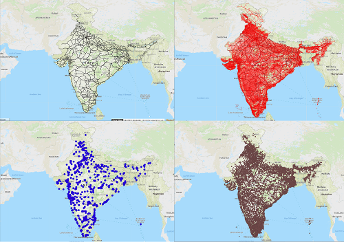

Stay up to date with India's fast changing
landscape. Download the latest
political map of India.
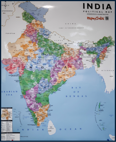
Downloadable PDF can easily be printed in A4 size
Get a 2ft x 3ft, high resolution print copy of the
political map of India as a wall hanging for:
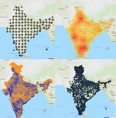
Power your web and mobile applications
with the most accurate and dynamically
updated maps of India by integrating
MapmyIndia's Map APIs & SDKs.
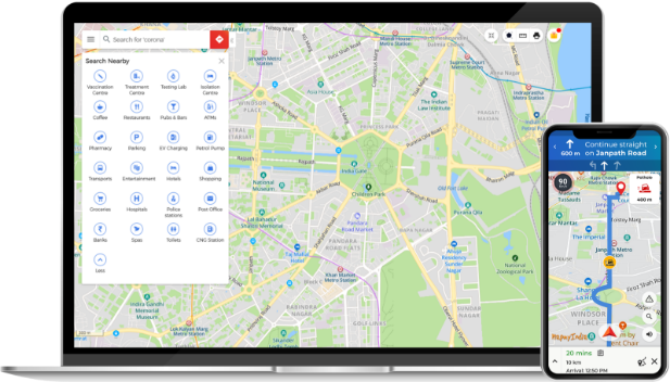
MapmyIndia's Super App and Map Portal is
built-in with India's most detailed, accurate,
comprehensive, continuously updated and
feature-rich maps from MapmyIndia.
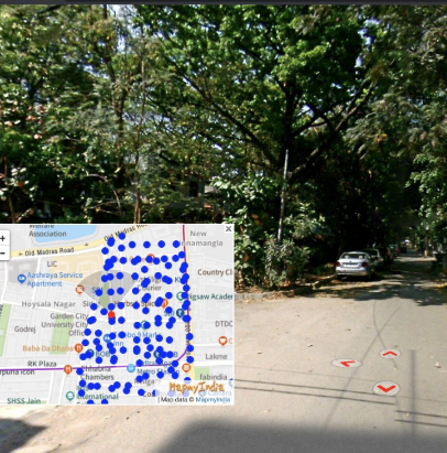
MapmyIndia's RealView enables users to view the world right from the comfort of where they are with the full panoramic view of the assets and the ability to geo-tag, measure and analyse them with photo-realistic quality.
Create an account or talk to our experts